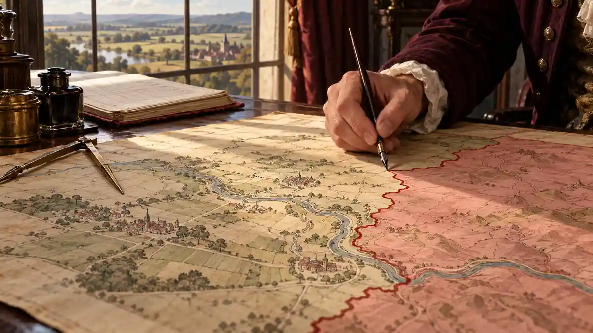
The Maps That Made Empires Look Inevitable
From North America to India and Indonesia, maps helped organise negotiations, surveys and land allotment. Their lasting power depended on which institutions adopted them, whose rights those institutions recognised and who could challenge the resulting boundaries.